
Filter by :
105 News
-
News
03/04/2025
setec acquires Sealand Projects and strengthens its position in the marine engineering sector
See -
Press releases
02/04/2025
sealand projects
-
News
31/03/2025
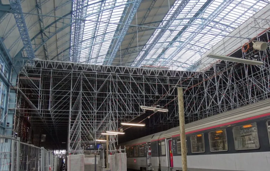
The Great Hall at Bordeaux railway station
See -
News
20/03/2025
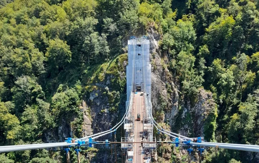
The Rochers Noirs Viaduct enters a new era
See -
News
20/03/2025
The renovation of the La Défense and Montparnasse towers in the Paris area
See -
News
04/12/2024
The Climate and Biodiversity Charter is signed: a major commitment by setec
See -
News
05/11/2024
Cycle paths in Lyon and Paris
See -
News
18/09/2024
Bogotá’s first metro line
See -
News
18/09/2024
TCSP (Tramway or Bus Rapid Transit) in Morocco: modernising urban transport
See -
News
05/08/2024
Territorial strategy development of Jazan in Saudi Arabia
See
- 1